Purfleet-on-Thames to Purfleet Beacon
Walk 33: Friday 30th July 2021
On this page
Walk
Distance: 11 miles
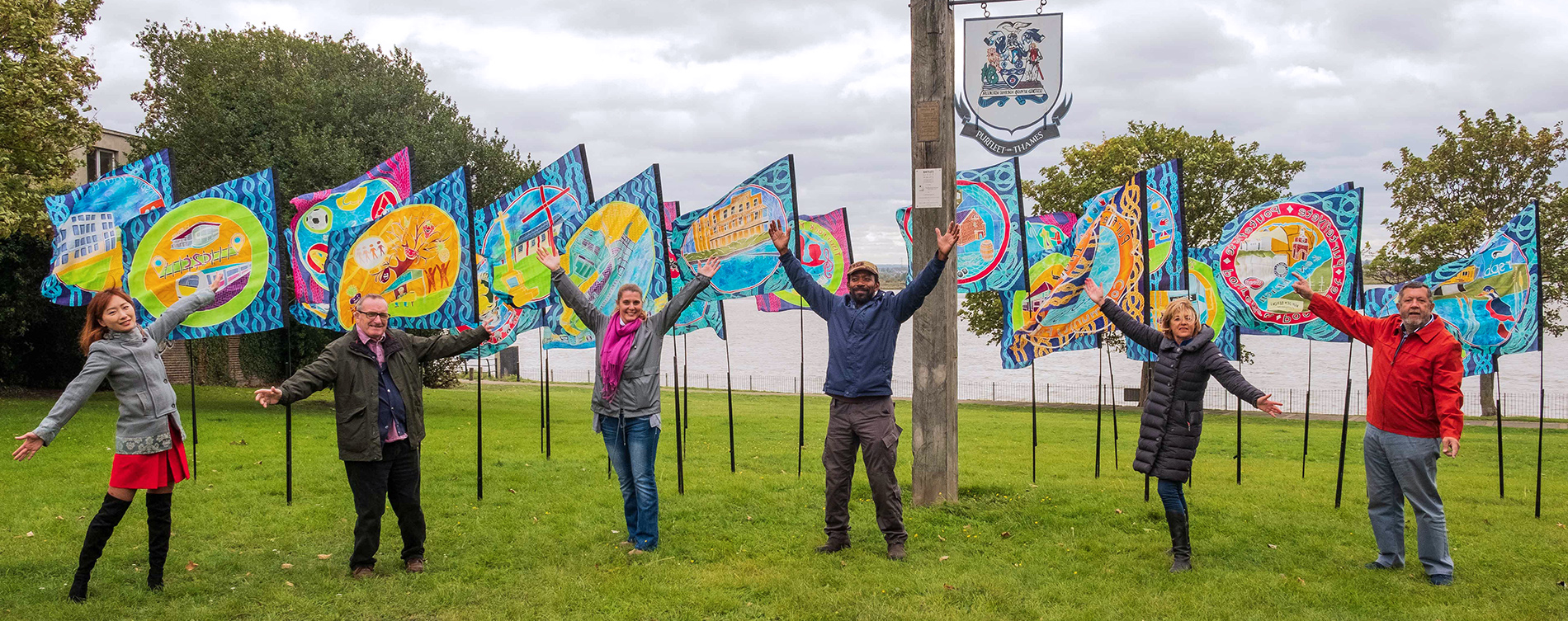
Almost a circular walk. The Mardyke is our companion at Davy Down. We then take three of the Chafford Gorges before passing the Kinetika studios on our return to Purfleet-on-Thames. On arrival at Purfleet Beacon, walkers have the opportunity to join a short T100 Dreaming walk around the area to celebrate the local community. Read more about the T100 walk.
To all Walkers
Important: Markers for mile numbers 377 & 385 have moved on the day of the walk to make the route safer. The positions will remain the same on the storymap.
There are two official meeting locations per day; at the start and near the mid-point. If you only wish to walk your one-mile stretch and join the walking party as it comes through your section, you can specify to meet ‘at my mile’ on the booking form. If you are meeting ‘at my mile’, please understand it is difficult for us to specify the exact time the main walking party will arrive. To help you estimate this, use the scheduled times below and add 30 mins per mile to get to your mile. We are using a walking speed of 2 miles an hour as a guide.
If you don’t receive any emails about the walks, please check your spam folder or email info@beachofdreams.co.uk
Schedule
Please arrive on time.
- Start point 12PM: (Miles 476 – 479) Rainham Marshes Visitor Centre – New Tank Hill Rd, Purfleet RM19 1SZ
- Mid point 2PM: (Miles 480 – 486) The Dog & Partridge, High Rd, North Stifford RM16 5UQ
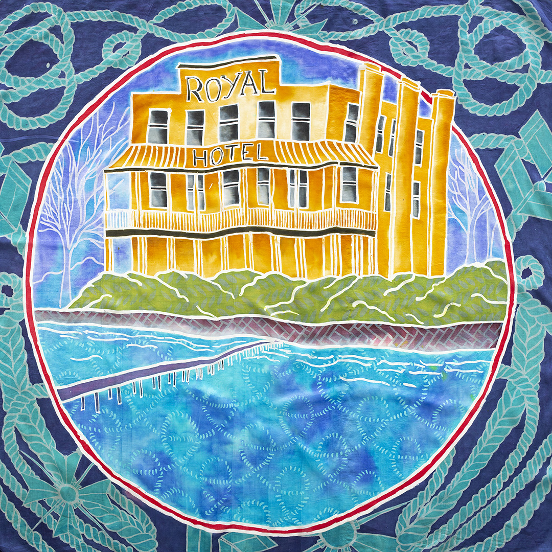
- End point 5 – 5:30PM: Purfleet Beacon on the green next to The Royal Hotel, High Street, Purfleet RM19 1QA
- 5pm – 5.30pm: T100 Dreaming – Guided walk and talk around the town
- 5.30pm – 7pm: Artist-led activities, music and picnic at the Beacon with T100 Festival

Route: Walk 33
The pink route line is the T100 festival walk
![]()
Story Map Submit Content All Walks Walk Guidelines Beach of Dreams Main Page FAQs


