South Ockendon Village Green to Purfleet-on-Thames
Walk 32: Thursday 29th July 2021
On this page
Walk
Distance: 13 miles
Visiting rewilded lands in Belhus before crossing the London boundary at Hornchurch Country Park. From here, we follow the London Loop through Rainham and beside the Thames.
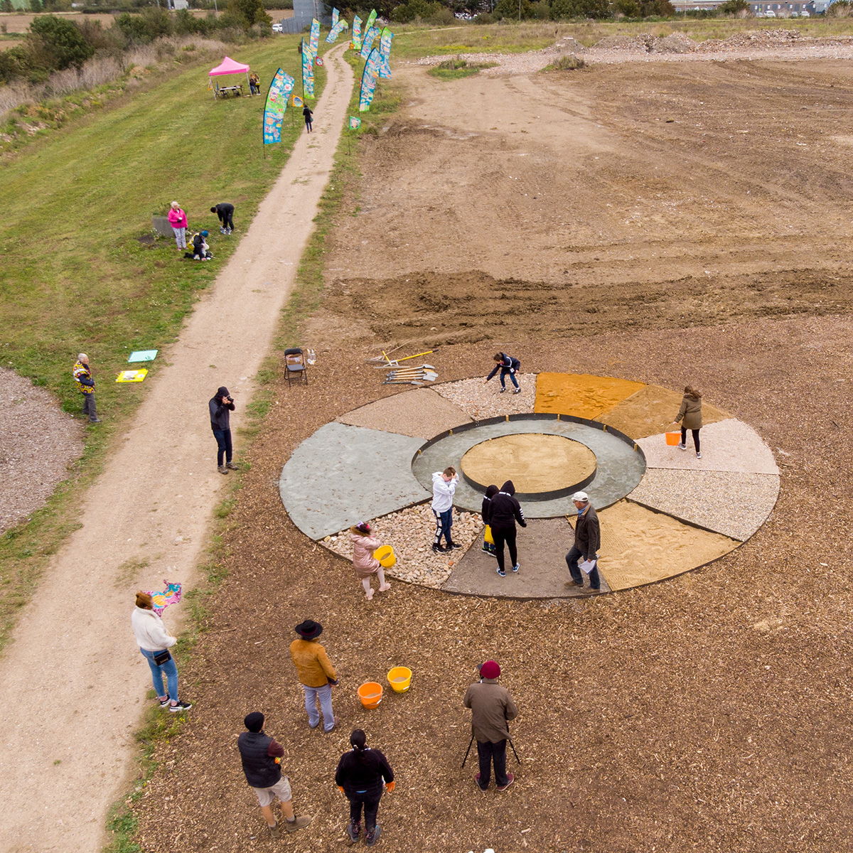
This nature-filled walk via Little Belhus Country Park revisits the insect habitat mandala created during T100 2020 to see it in full bloom. Taking inspiration from growing wild flowers on brownfield sites we will imagine the future of this landscape that has been transformed from landfill and how it encourages us to think differently about the future of Thurrock.
This walk will join the T100 Dreaming festival at the start, and then separate when the T100 walkers return to Ockendon Town.
To all Walkers
There are two official meeting locations per day; at the start and near the mid-point. If you only wish to walk your one-mile stretch and join the walking party as it comes through your section, you can specify to meet ‘at my mile’ on the booking form. If you are meeting ‘at my mile’, please understand it is difficult for us to specify the exact time the main walking party will arrive. To help you estimate this, use the scheduled times below and add 30 mins per mile to get to your mile. We are using a walking speed of 2 miles an hour as a guide.
If you don’t receive any emails about the walks, please check your spam folder or email info@beachofdreams.co.uk
Schedule
Please arrive on time.
- Start point 10.45AM: (Miles 463 – 468) The Green, opposite St Nicholas The Green, South Ockendon RM15 6SD
- 11am: Walk Begins and heads to Little Belhus Country Park
- Mid point 1:30PM: (Miles 469 – 475) Hornchurch Car Park, Squadrons Approach, Hornchurch RM12 6TS
- End point 4:30 – 5PM: Rainham Marshes Visitor Centre, New Tank Hill Rd, Purfleet RM19 1SZ
![]()

Route: Walk 32
The pink route line is the T100 festival walk
![]()
Story Map Submit Content All Walks Walk Guidelines Beach of Dreams Main Page FAQs


