
Sutton Hoo to Bawdsey Ferry
Walk 7: Saturday 3rd July
On this page
Walk
Distance: 17 miles
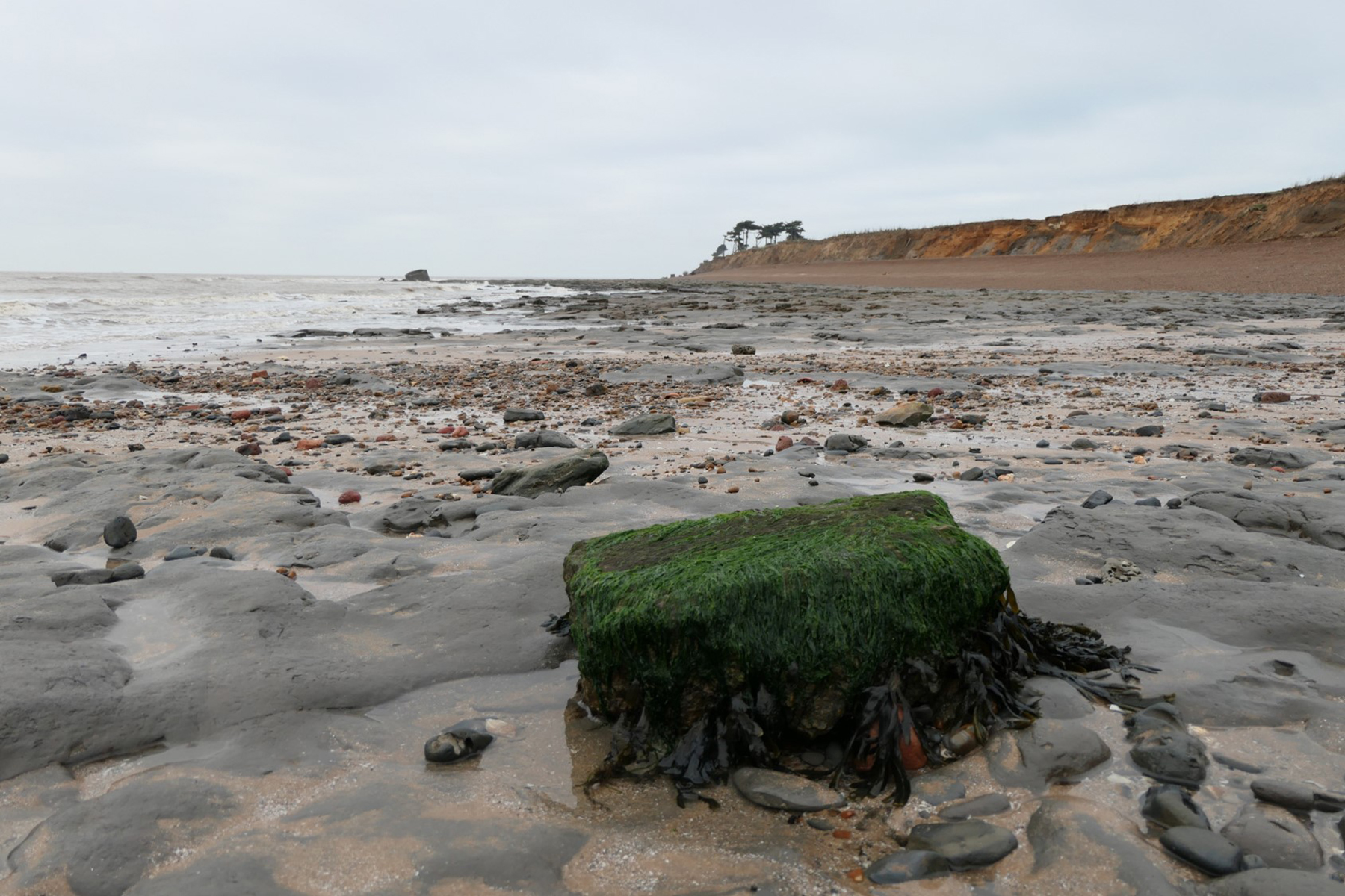
We cross typical Suffolk heathland to the ancient village of Boyton. We rejoin the coast soon after, following firstly the Ore estuary, before our final destination of Bawdsey Ferry.
To all Walkers
IMPORTANT: Please note the following change for this walk:
- The route for this walk has been updated to make it safer, which means two of the original markers (100 & 101) don’t line-up with the route that will be walked on the day. This is a consequence of lockdown and not being able to reccy the walks sufficiently before mapping the routes. The position of the markers on the Storymap will not be affected. We apologise to those who this affects, and if you have indicated you wish to ‘meet at my mile’, and now the route misses you, please contact us on info@beachofdreams.co.uk
There are two official meeting locations per day; at the start and near the mid-point. If you only wish to walk your one-mile stretch and join the walking party as it comes through your section, you can specify to meet ‘at my mile’ on the booking form (which should have been emailed to you already).
If you are meeting ‘at my mile’, please understand it is difficult for us to specify the exact time the main walking party will arrive. To help you estimate this, use the scheduled times below and add 30 mins per mile to get to your mile. We are using a walking speed of 2 miles an hour as a guide.
If you don’t receive any emails about the walks, please check your spam folder or email info@beachofdreams.co.uk
Please only attend the walks if you have booked.
Schedule
Please arrive 20 minutes beforehand.
- Start point 7:30AM: (Miles 85 – 92) Sutton Hoo Tranmer House, Woodbridge IP12 3DJ
- Mid point 11:00AM: (Miles 92 – 101) St Andrew’s church Boyton, Woodbridge IP12 3LQ)
- End point 4:00PM: The Quay Bawdsey Ferry, Bawdsey, Woodbridge IP12 3AX
![]()


Route: Walk 7
Story Map Submit Content All Walks Walk Guidelines Beach of Dreams Main Page FAQs


