
Thurrock Thameside Nature Park to Langdon Hills
Walk 30: Tuesday 27th July 2021
On this page
Walk
Distance: 14 miles
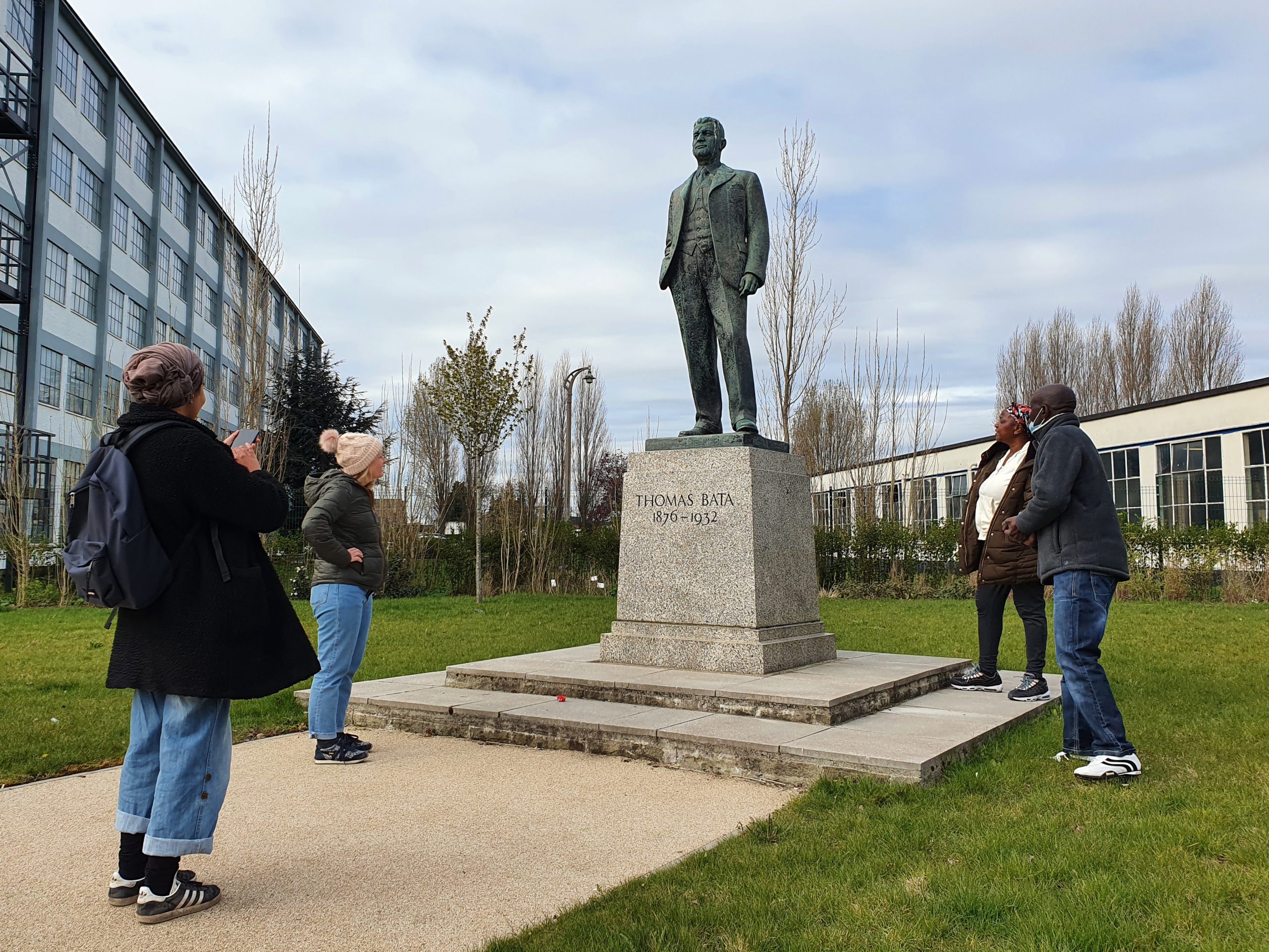
There’s a visit to East Tilbury and a tour around ‘Bataville’ first, before heading to Horndon-on-the-Hill. We end with a part circuit of Langdon Hills, the highest ground of Beach of Dreams.
This walk joins T100 Dreaming walking festival until East Tilbury. To book on the shorter, 3.5 mile, T100 walk go here.
To all Walkers
There are two official meeting locations per day; at the start and near the mid-point. If you only wish to walk your one-mile stretch and join the walking party as it comes through your section, you can specify to meet ‘at my mile’ on the booking form (which should have been emailed to you already).
If you are meeting ‘at my mile’, please understand it is difficult for us to specify the exact time the main walking party will arrive. To help you estimate this, use the scheduled times below and add 30 mins per mile to get to your mile. We are using a walking speed of 2 miles an hour as a guide.
If you don’t receive any emails about the walks, please check your spam folder or email info@beachofdreams.co.uk
Schedule
Please be on time.
- Start point 11AM: (Miles 436 – 443) Essex Wildlife Trust Visitor Centre Mucking Wharf Rd, Stanford-le-Hope SS17 0RN
- 11am – 12pm Walk from nature reserve to East Tilbury
- 12pm – 1pm ‘Bataville’ walk around East Tilbury
- 1pm – 1.30pm Artist-led workshop and lunch break
- 1.30pm – 4.30pm Walk from East Tilbury to Horndon on the Hill
- Mid point 4:30PM: (updated from 3.30pm) (Miles 444 – 449) The Swan, Horndon on the Hill SS17 8LD
- 4.30pm – 7-7.30pm Walk from Horndon on the Hill to end point.
- End point 7 -7:30PM: (updated from 6-6.30pm) Car Park near Westley Heights Country Park, 24 Westley Rd, Langdon Hills, Basildon SS16 5PA
![]()


Route: Walk 30
The pink route line is the T100 festival walk
![]()
![]()
Story Map Submit Content All Walks Walk Guidelines Beach of Dreams Main Page FAQs


