Halesworth to Aldeburgh
Day 3
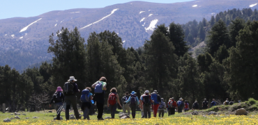
Deep in the reed beds of Walberswick marshes a bird is calling vociferously, but I can’t see it. This is a world where you don’t see. The breeze sizzles through the reeds and the grasses whose tops are above eye level. The bird calls again. “It’s saying, ‘Oi, don’t you know my name?'” says Jenny, who is walking behind me. “Ceti’s warbler. They used to be winter visitors, but now they stay all year.”
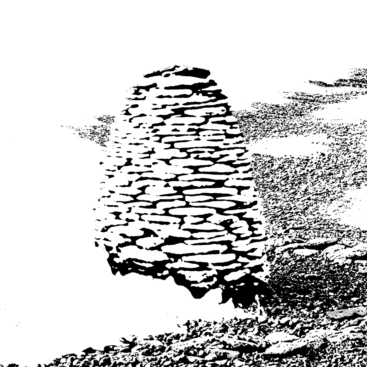
After some miles we emerge on the coast once again and turn south. Most of the land is low-lying, but there are lumps of wooded ground that protrude. These are founded on a rock known as coraline crag, a rare geological accretion of sea shells that formed over five million years ago. At one of these outcrops Jenny stops and tells us why it means so much to her. “Maybe one day, my descendants will come here. They will have to come by sea because of rising sea levels and they’ll find an island.”
A little further on, we come to Minsmere bird reserve, one of the RSPB’s flagship sites where Arctic terns nest close to avocets. In the bird hide someone tells me about the cruel ironies of nature. The protection of avocets has aroused the interest of badgers who sneak in and eat the eggs while the bittern chicks have proved attractive to otters who snack on them.
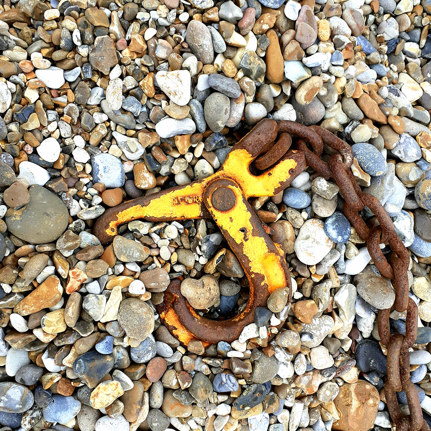
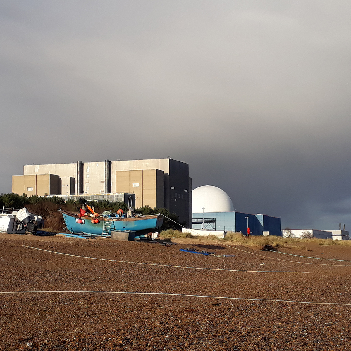
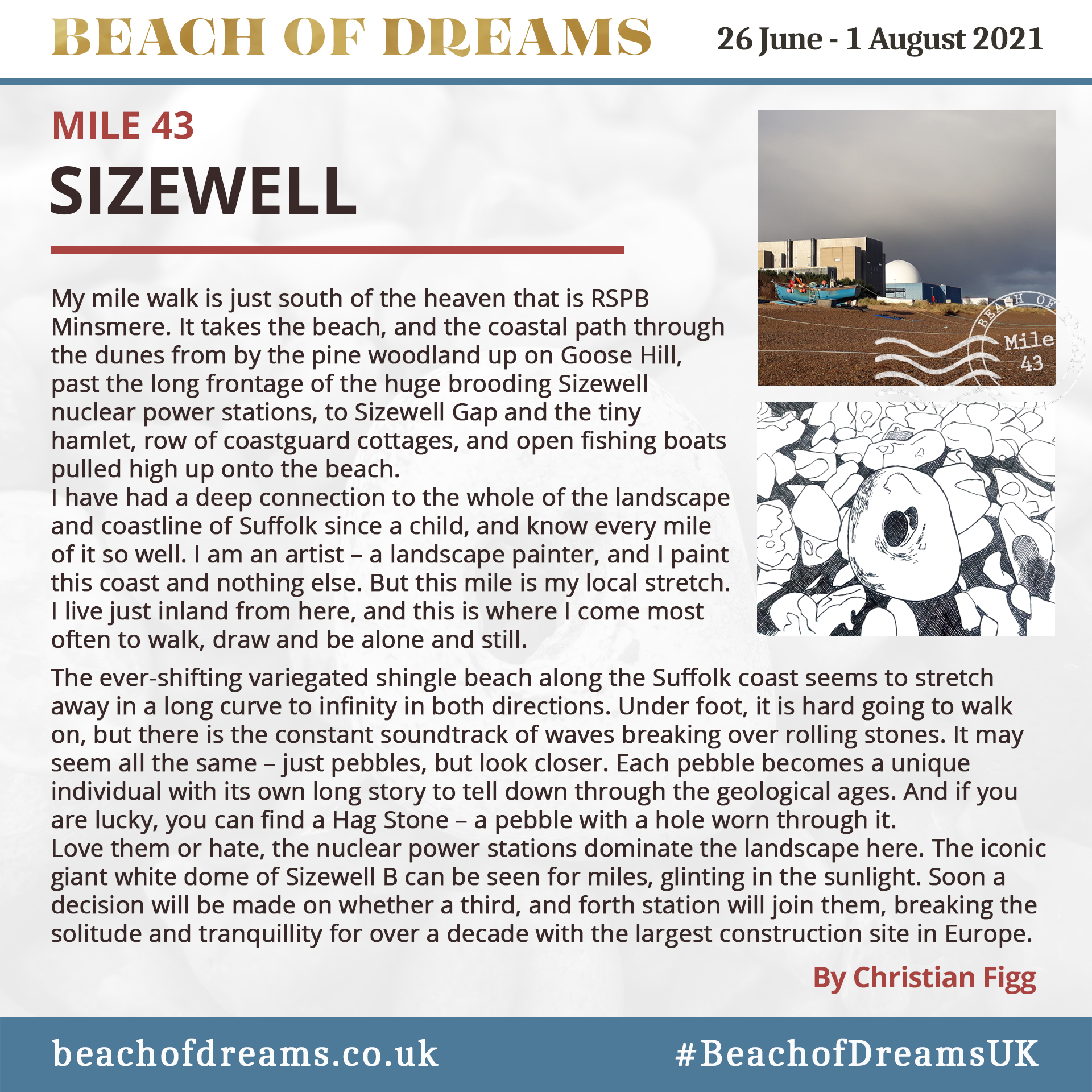
Further up the shingle coast a larger irony stands offshore: an ugly concrete and rusting iron gantry that once marked the outfall where hot water from the Sizewell A reactor was pumped out to sea. When the reactor was closed in 2006 the outfall had to be left in place because kittiwakes had adopted it as home and now nest all along its ledges.
Sizewell looms over everything here. It looms over the vegetated shingle, a rare habitat only found in a handful of places around the world: a place of floral and insect abundance. And it looms over the human population with plans to build new reactors. The old A and B reactors were constructed on the relatively firm foundation of a coraline crag outcrop, but the new one, C, will require the protection of a vast wall of concrete from the sea. One day, if built, it’s rusting hulk will be an island, but I doubt Jenny’s descendants will want to paddle out to it.
When our 21 mile walk reaches its end, I get a taxi to where I am staying. The driver instructs me to wear a mask and when I drop into the back seat, I find I am separated from him by a sheet of ill-fitting plastic. “What do you think of the Sizewell C plan?” I ask.
He shrugs. ‘”It’s fine,” he says. “We need the jobs. I used to work up there and we only ever had one leak.”
Does one ever need more than one? I look at the plastic sheet and wonder if it’s there for Covid or other reasons. When we reach the destination, he opens a little flap in the sheet and there’s a payment terminal ready. Once I have paid, the flap closes.
Kevin Rushby

Beach of Dreams Blog
Day 1 Day 2 Day 3 Day 4 Day 5 Day 6 Day 7 Day 9 Day 10 Day 11 Day 12 Day 13 Day 15 Day 16 Day 17 Day 18 Day 19 Day 20 Day 21 Day 23 Day 24 Day 26 Day 27 Day 28 Day 29 Day 30 Day 31 Day 32 Day 33 Day 34 Day 35
Route: Walk 3
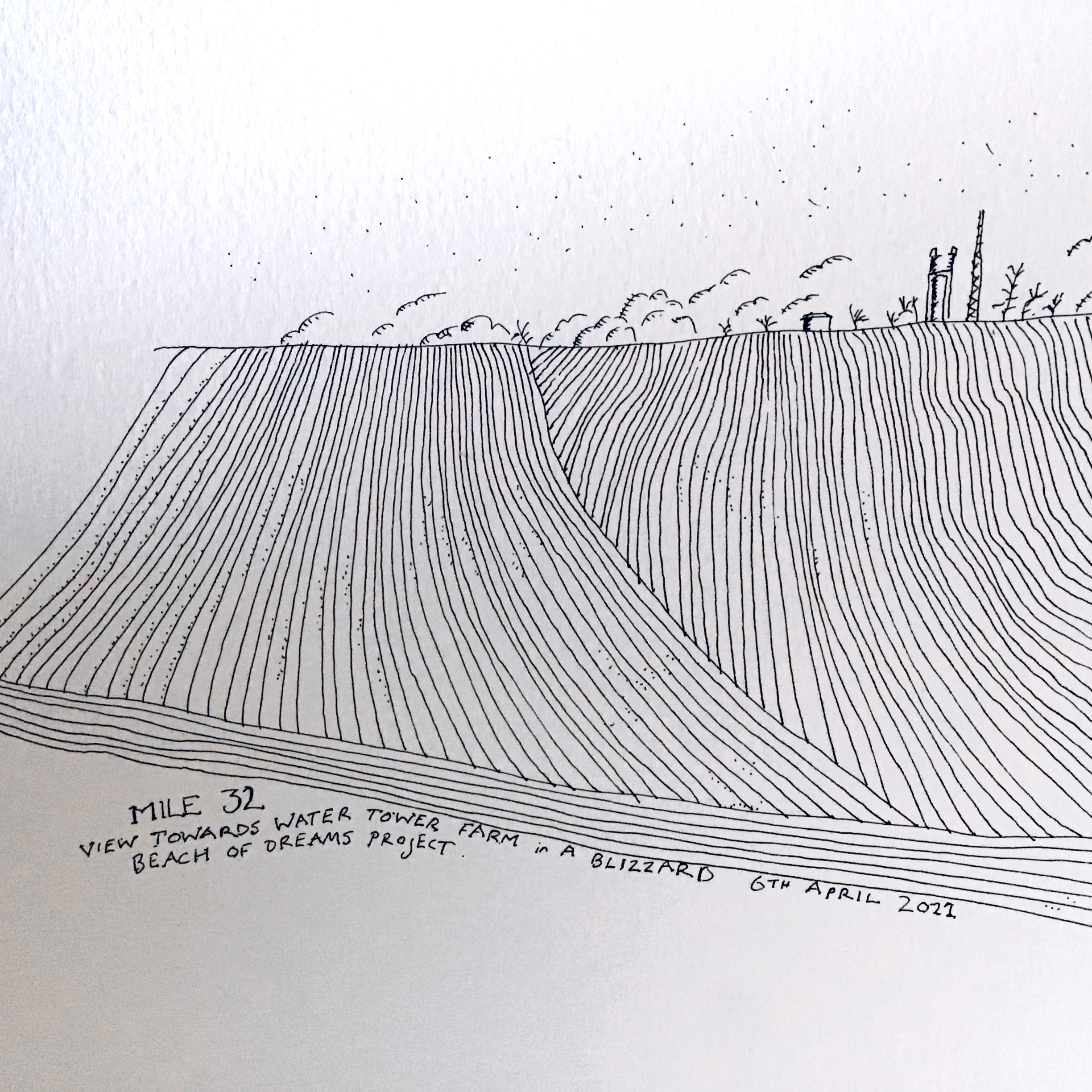
Gallery of the Miles
See all the mapped miles on the Beach of Dreams Storymap, find a selection below. Slideshow images are by Mike Johnston.

![]()